

Last updated: August 2026
If you’re moving to Pittsburgh from a city where you didn’t need a car, the first thing you’ll want to know is whether you can keep living that way here.
Short answer: in a handful of neighborhoods, yes. In most of the region, no. And the line between the two isn’t where a walkability website says it is.
Here’s the thing about Pittsburgh that no algorithm accounts for: we have 446 bridges and a lot of hills. A grocery store half a mile away on a map can be half a mile straight up, or on the other side of a river you can’t cross without a ten-minute detour. Walk Score doesn’t know that. I’ve had buyers fall in love with a listing that scored a 90, then walk the route to the store and change their mind.
So this list uses Walk Score as a starting point, then adds what actually matters: what’s within a real 10–15 minute walk, what the terrain does to that walk, what transit gets you, and where parking becomes a problem.
A quick note on the numbers
Prices below are the most recent public figures available as of August 2026. Most are three-month snapshots, not annual medians, and a few are based on very small sale counts. They’re directional, not gospel. For a specific block or property type, ask me for a current MLS report — the difference is often significant.
The City Neighborhoods
South Side Flats — Walk 93 / Transit 65 / Bike 92
Pittsburgh’s highest-scoring neighborhood, and the most realistic place in the region to live without a car. East Carson Street puts restaurants, bars, errands, and the Carnegie Library South Side branch inside a compact walk. Riverfront Park is right there. Buses 48, 54, 81, and 83 serve the area.
Recent price: $272,000 median, three months ending May 2026.
The tradeoffs: East Carson is a nightlife corridor, and it sounds like one on a Saturday night. The Monongahela blocks you to the south, the Slopes rise steeply to the north, and street parking is managed — a residential permit runs $40 per vehicle per program year, with paid evening enforcement on Carson. Great fit if you want energy. Poor fit if you want quiet.
Bloomfield — Walk 92 / Transit 62 / Bike 89
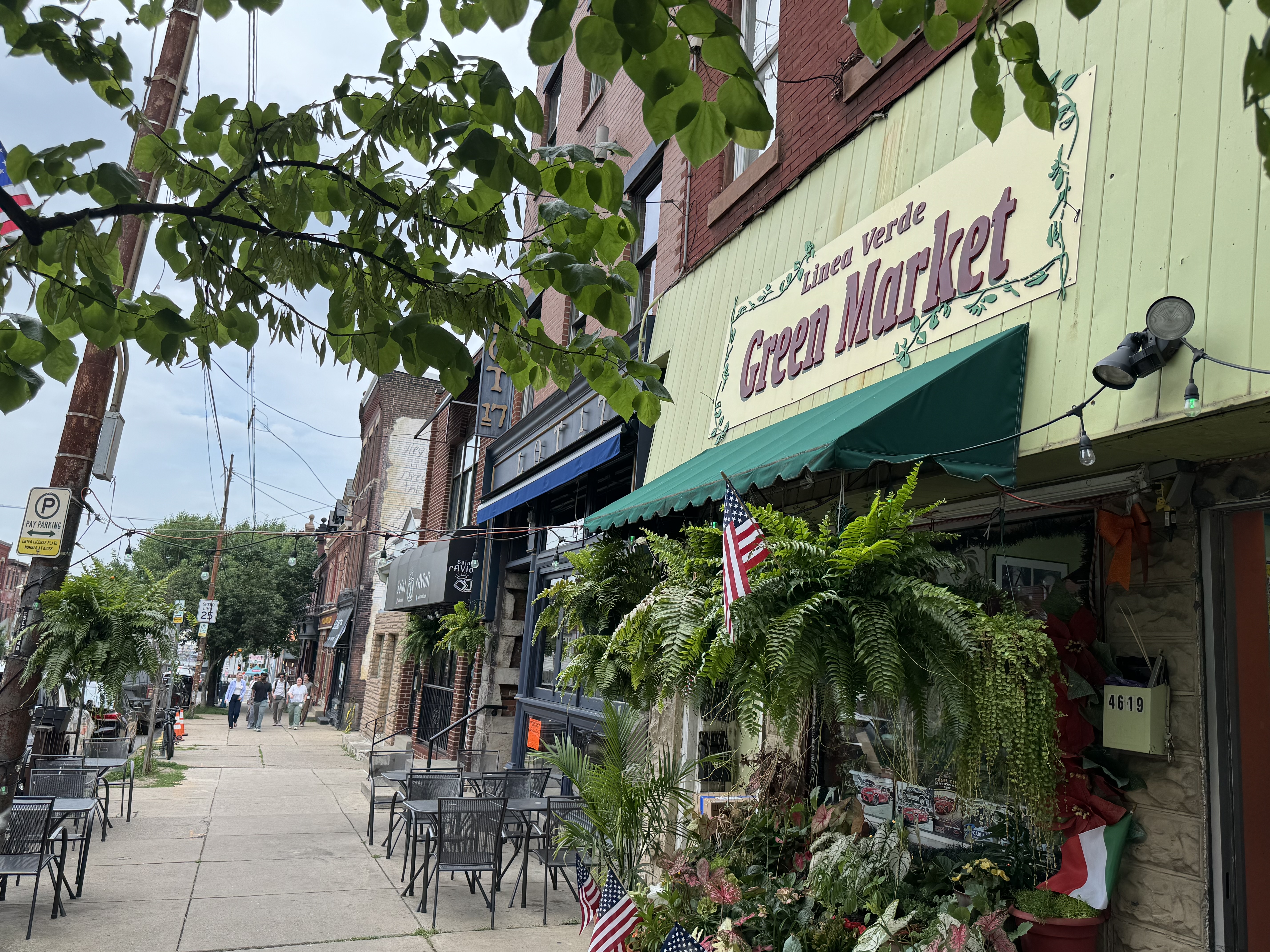
Pittsburgh’s Little Italy, and one of the most complete daily-errand neighborhoods in the city. The Liberty/Centre/Baum corridor gives you groceries, a CVS at 4610 Centre, UPMC-GoHealth Urgent Care at 5201 Baum, restaurants, and Woolslair PreK–5 at 501 40th Street. Routes 54, 82, and 86 run through it.
Recent price: $324,887 median, 43 days on market, 29 homes sold — three months ending June 30, 2026.
The tradeoffs: Older sidewalks, real hills off the main corridors, and busy arterial crossings. Permit parking zones exist but don’t guarantee you a space.
Central & North Oakland — Walk 92 / Transit 68 (Central)
Pitt, CMU, and the UPMC medical complex. If you work or study at any of them, this is the most car-optional address in Pittsburgh — a dozen bus routes converge here, including the 54, 61s, 71s, and 75. Carnegie Library’s Main branch anchors the civic side.
Recent value: Zillow’s average home value was $242,815 as of July 31, 2026 — a modeled value, not a sale price.
The tradeoffs: This is a student and institutional neighborhood, with the turnover and density that implies. Fifth, Forbes, and Boulevard of the Allies have documented pedestrian safety problems, and parking permit zones are oversubscribed. PRT’s University Line construction will be reshaping the Fifth/Forbes corridor into 2027.
Shadyside — Walk 91 / Transit 71 / Bike 87
The polished version of walkable Pittsburgh. Walnut Street and Ellsworth Avenue are the shopping and dining spines; the Giant Eagle Market District at 5550 Centre covers groceries and pharmacy under one roof; Commonplace Coffee and UPMC Shadyside are steps from most of the neighborhood. The 71s and 75 handle transit.
Recent price: $507,074 median, 76 days on market, 43 sold — three months ending June 2026. Zillow’s separate average-value measure was $480,149, up 4.4% year over year.
The tradeoffs: It’s the most expensive neighborhood on this list, and the grid is manageable but not flat. Blocks along Centre and Fifth are less pleasant on foot than the Walnut Street core.
Allegheny Center / Central North Side — Walk 86 / Transit 81 / Bike 84
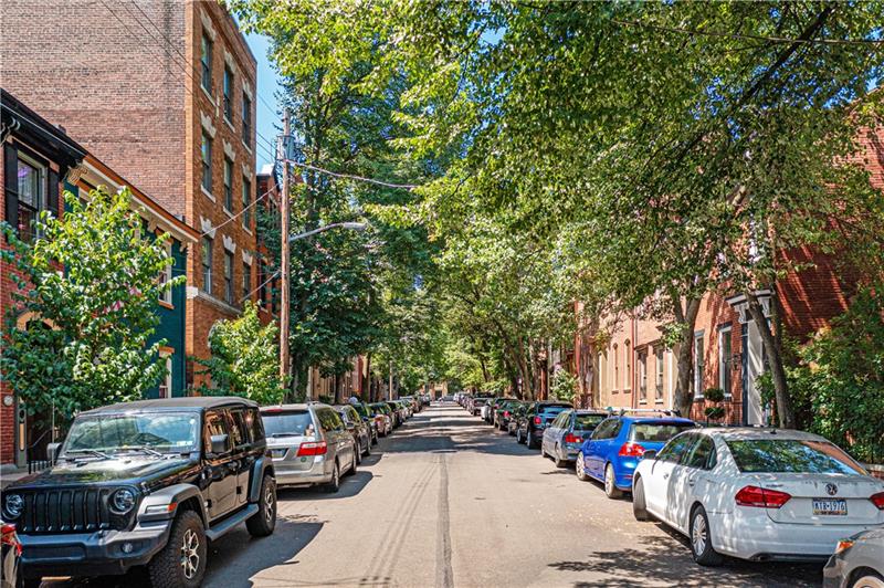 One of the numbers that jumps out on this list is Allegheny Center: an 86 Walk Score, 81 Transit Score, and 84 Bike Score. Walk Score ranks it the 7th most walkable neighborhood in Pittsburgh, and its transit score is stronger than nearly every other neighborhood on this list.
This is also where Pittsburgh neighborhood names can get confusing. Allegheny Center sits in the middle of a cluster of highly walkable North Side communities, including Allegheny West, Central Northside and the Mexican War Streets, East Allegheny/Deutschtown, and Manchester. If someone tells us they want to live on the North Side and walk to restaurants, parks, museums, Downtown, or the stadiums, we generally look at this broader group rather than treating Allegheny Center in isolation.
Allegheny Commons gives the area a major green-space anchor, while Federal Street, East Ohio Street, the Mexican War Streets, and nearby Western Avenue put restaurants, coffee, neighborhood businesses, cultural destinations, and everyday amenities within walking distance. Downtown is just across the Allegheny River.
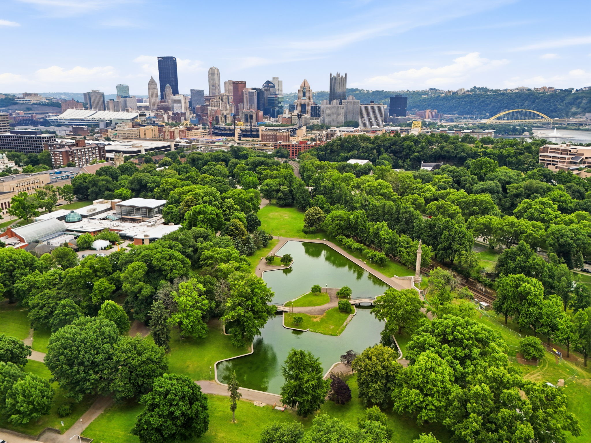
The tradeoff: the individual neighborhoods around Allegheny Center feel very different from one another, and the 1960s redevelopment of Allegheny Center disrupted the original street grid. So this is another place where the score is a starting point — walk the actual route from the property you’re considering.
Central Lawrenceville — Walk 84 / Transit 52 / Bike 83
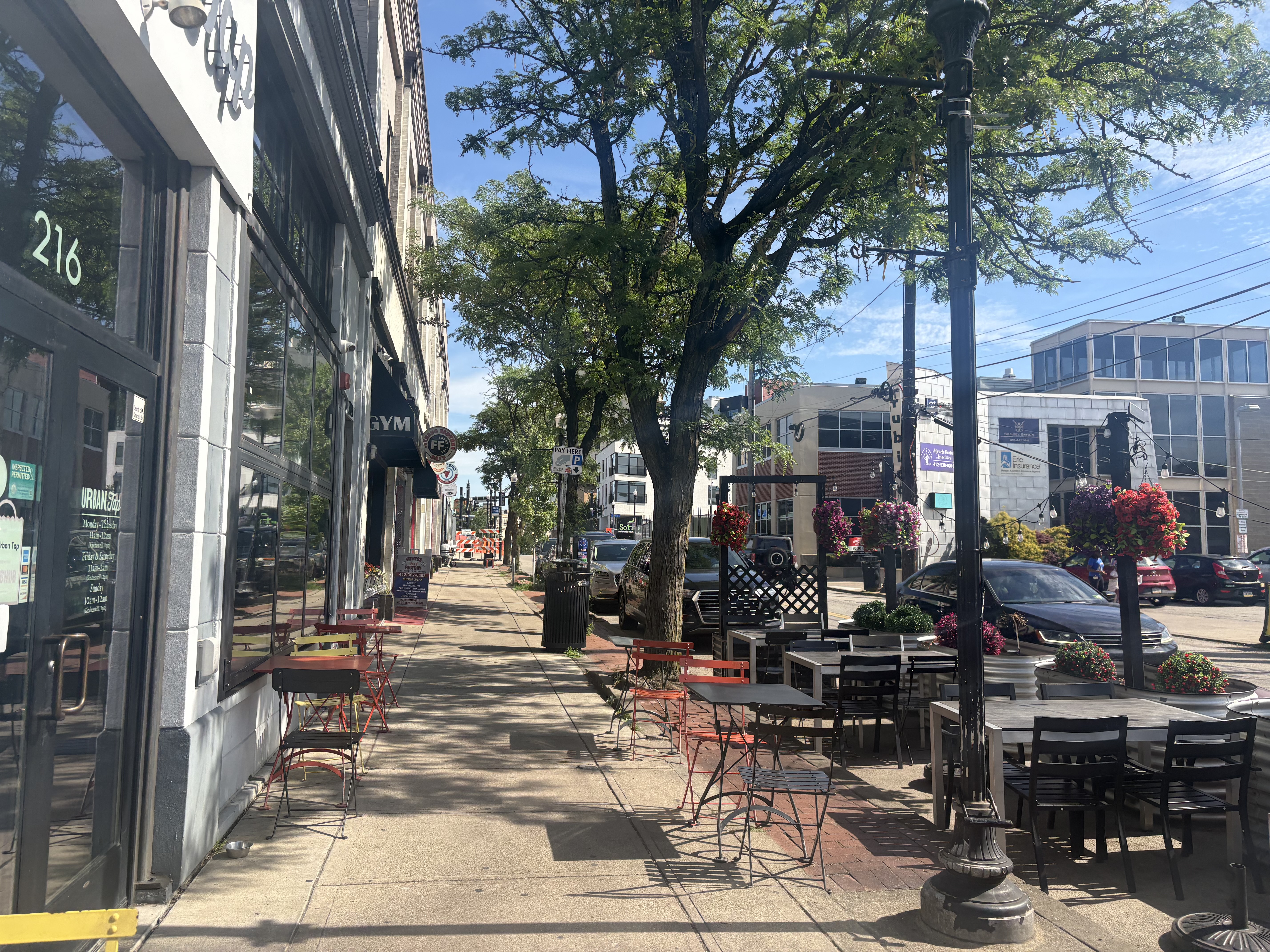
Butler Street is the whole argument — one of the best pedestrian commercial streets in the region, with Commonplace Coffee, the Carnegie Library Lawrenceville branch, Doughboy Square, and a Giant Eagle at the Riverside location. Routes 64, 91, and 93 connect you Downtown.
Recent value: Zillow’s average home value was $343,512 as of July 31, 2026, down 5.9% year over year.
The tradeoffs: The magic is on Butler and thins out fast as you climb away from it. Allegheny Cemetery interrupts the street grid, and river and rail edges make some trips indirect. Butler Street parking is paid from 34th to 46th with extended dynamic hours.
East Liberty — Walk 82 / Transit 62 / Bike 90
The best transit access on this list, and it isn’t the T — it’s the East Busway. P1 and P2 run from East Liberty Station straight Downtown on a dedicated right-of-way, which beats sitting in traffic. Groceries and general merchandise are both covered: Market District at 6310 Penn and Target at 6231 Penn, with the library at 130 S. Whitfield.
Recent price: Redfin showed a $667,268 median for the three months ending June 30, 2026 — but that reflects only 6 sales, so treat it as noise, not a market. Zillow’s average value was $308,712.
The tradeoffs: Penn Avenue traffic, wide intersections, and the busway itself create barriers. The neighborhood changes character block to block more than any other on this list.
Squirrel Hill South — Walk 74 / Transit 51 / Bike 64
The family answer. Forbes and Murray give you a full commercial district — Giant Eagle, a Rite Aid on Forbes, the Carnegie Library branch, Mineo’s Pizza — with Schenley Park at the edge and Allderdice High School at 2409 Shady Avenue. Route 74 is the workhorse.
Recent value: Zillow’s average home value was $480,042 as of July 31, 2026, up 3.9%.
The tradeoffs: The score is lower than the reputation because the residential edges are genuinely hilly. Living three blocks off Forbes is a different experience than living on it.
The Close-In Boroughs
One caution before these three: their Walk Scores come from a representative address, not a whole-municipality average. Don’t rank them head-to-head against the city numbers above.
Dormont — Walk 76 (representative location)
The South Hills value play. Red Line light rail plus buses 36 and 41, a real commercial spine on West Liberty, and municipal amenities you’d pay more for elsewhere — Dormont Pool, the public library, Dormont Park.
Recent price: $298,000 median, three months ending June 2026.
The tradeoffs: Sloped terrain throughout, and the walkability depends heavily on how close you land to a Red Line stop.
Mt. Lebanon Uptown — Walk 73 (municipality-wide representative)
Uptown is the Washington Road business district, roughly 600–733 Washington Road: Eden’s Market, Orbis Caffe, Amy’s Bakery Cafe, Bistro 19, La Pizzetta, and the Mt. Lebanon Public Library, all inside a few blocks. Red Line plus buses 36, 38, and 41.
Recent price: $434,849 median, 41 days on market, 141 sold — three months ending June 2026, Mt. Lebanon-wide.
The tradeoffs: Here’s the detail nobody mentions until you’re standing there: reaching the LRT platform from Washington Road means stairs or an elevator. With a stroller, groceries, a bad knee, or January ice, that’s a real consideration. Overnight street parking is also barred from 2:00 to 6:00 a.m. without permission, capped at 20 requests per plate per year.
Sewickley — Walk 87 (representative location)
The village model, and it works. Safran’s Supermarket at 429 Walnut Street, the Sewickley Public Library, War Memorial Park, and a genuine walkable commercial grid — all inside Quaker Valley School District.
Recent price: Proceed carefully here. Redfin’s broader Sewickley geography showed a $383,291 median for the three months ending June 2026; Realtor.com’s August 2026 snapshot for a differently-drawn “Sewickley” showed $695,000. Neither is wrong — they’re measuring different areas. This is exactly why I don’t quote portal numbers without checking the boundary.
The tradeoffs: Route 65 and the river edge cut the walkable core off from the hill streets, and flood risk is a parcel-level question worth asking about.
Also worth a look
Friendship (92/68/91) — tiny, gorgeous, and borrows Shadyside and Bloomfield’s amenities. Lower Lawrenceville (86/62/84) — same Butler Street access, different price point. Allegheny Center (86/81/84) — the highest transit score in the city. Millvale — Riverfront Park connects to 1.7 miles of the Three Rivers Heritage Trail. Aspinwall — riverfront park access and a quiet small-borough core.
The one thing we’d tell you before you sign anything
Walk the route. Not the neighborhood — the actual route, from the actual listing, to the actual grocery store, at the time of day you’d actually go. In this city that walk tells you more than any score, price, or listing photo.
A 93 with a hill in the middle of it is not a 93.
Moving to Pittsburgh? We put together a free guide: How to Pick Your Pittsburgh Neighborhood. It has the four-filter method for narrowing the whole region down to two or three real candidates, the Route Walk test, a printable scorecard to take with you, and the exact questions to ask — and who to ask them of — before you commit to a block. Get the guide here.
Ryan Edmondson | Edmondson Real Estate Group
412-310-0620 | ryan@ergpgh.com | ergpgh.com